Back to Weather

5-day forecast / Nocatee, FL

MondayMostly Sunny then Chance Showers And Thunderstorms95° / 79° 47%
TuesdaySunny then Chance Showers And Thunderstorms97° / 79° 39%
WednesdayMostly Sunny then Chance Showers And Thunderstorms96° / 78° 38%
ThursdayMostly Sunny then Chance Showers And Thunderstorms95° / 78° 34%
FridayMostly Sunny then Chance Showers And Thunderstorms94° / 77° 39%

Heat Advisory in Effect for Nocatee as Feels-Like Hits 105F - Aug 16, 6 PM

Nocatee weather, updated every four hours — local forecasts you can trust.

A Heat Advisory is active for Nocatee, TX, with dangerous heat and high humidity. Current feels-like temperature is 105F. Showers possible tonight and tomorrow.

Coralie Doyle

August 16, 20262 min read

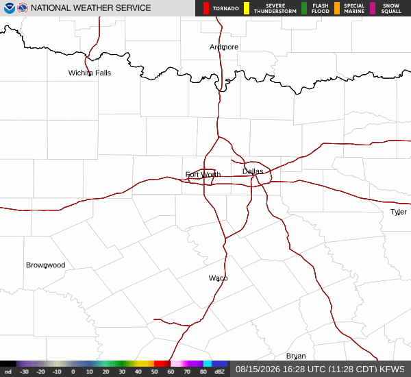
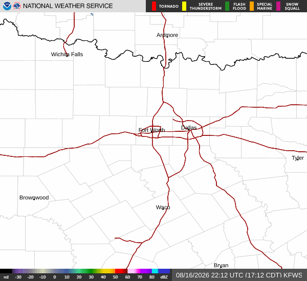
National Weather Service radar for North Texas (KFWS)

*As of Aug 16, 6 PM local time.*

Dangerous Heat Conditions

Residents in Nocatee are under a Heat Advisory due to oppressive heat and humidity. The current air temperature stands at 90F, but the combination of moisture makes it feel like 105F. This dangerous heat index is driven by a dew point of 79F and relative humidity of 71%. Winds are currently blowing at 13 mph with gusts reaching 9 mph under partly cloudy skies.

Two separate Heat Advisories are in effect, both issued by the National Weather Service in Jacksonville. These alerts highlight the severity of the conditions, urging caution as the region experiences sustained high heat values. The advisory periods cover the remainder of today and extend into the evening hours, emphasizing the need for vigilance during the hottest parts of the day.

Forecast and Precipitation

Today will see a high near 96F with a low around 78F. There is a 30% chance of showers and thunderstorms, followed by partly cloudy skies. Temperatures tonight will drop to a low near 78F, rising slightly to around 79F overnight.

A chance of showers and thunderstorms exists before 10pm, with southwest winds between 5 and 9 mph. The heat index is expected to remain high at values up to 103. Rainfall amounts will likely be less than a tenth of an inch.

Tomorrow brings a high near 95F and a low near 79F. Conditions will start mostly sunny before a chance of showers and thunderstorms develops after noon. The heat index could reach as high as 113, with west winds around 8 mph.

There is a 47% to 50% chance of precipitation, with new rainfall amounts also expected to be less than a tenth of an inch. Temperatures will fall to around 90F in the afternoon.
Tomorrow night will see a low near 79F, rising to around 80F overnight. A chance of showers and thunderstorms is possible before 9pm under partly cloudy skies. Heat index values may reach 102 with southwest winds around 9 mph. Rainfall amounts could range between a tenth and quarter of an inch.

Safety Reminders

Given the active Heat Advisory and high heat index values, it is critical to stay hydrated and limit midday exertion. Check on neighbors, especially the elderly or those without air conditioning, to ensure their safety during this period of dangerous heat.

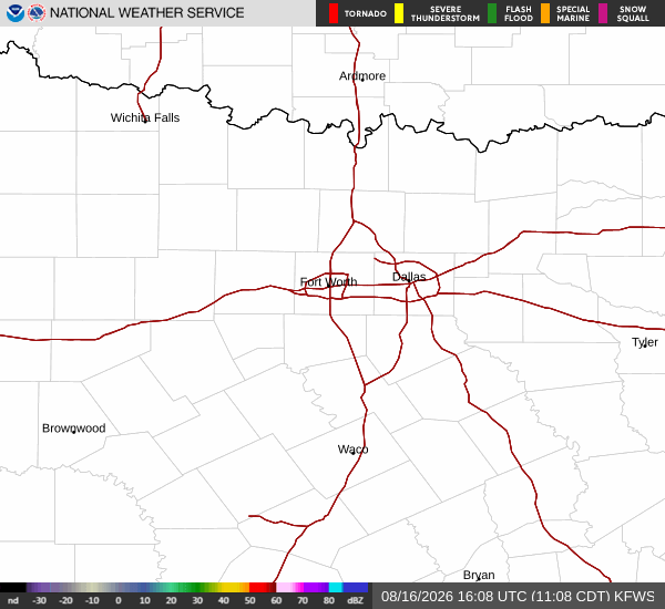
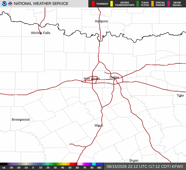
National Weather Service radar for North Texas (KFWS)

Sources

https://radar.weather.gov

https://api.weather.gov

https://open-meteo.com

Share

Coralie Doyle

Coralie Doyle covers weather, storms, and seasonal life around Nocatee.

Related Stories

More in Sport