*As of Sep 10, 3 PM local time.*
Current Conditions and Heat Index
It is currently Thursday this afternoon in Nocatee, TX, where dangerous heat conditions are dominating the local weather pattern. The air temperature stands at 88F, but the combination of high moisture levels makes it feel significantly hotter. The current feels-like temperature is 102F, creating hazardous conditions for anyone spending time outdoors.
Humidity remains oppressively high, with a dew point of 79F and relative humidity at 75%. These muggy conditions contribute to the elevated heat index values, which are expected to reach as high as 105 later today. The sky is currently overcast, and winds are blowing from the southeast at 15 mph, with gusts reaching 14 mph.
Forecast for Today and Tomorrow
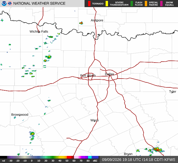
Today, residents should expect a high near 91F and a low near 77F. There is a 64% chance of precipitation, with showers and thunderstorms likely. According to the National Weather Service, there is a chance of showers and thunderstorms before 4pm, followed by a likelihood of storms later in the day.
Temperatures may fall to around 87F in the afternoon as clouds move in. Winds will shift to the southeast around 12 mph, with gusts up to 17 mph. Any new rainfall amounts are expected to be less than a tenth of an inch.
Tonight, showers and thunderstorms will likely continue before 3am. The sky will remain mostly cloudy with a low around 77F. Winds will decrease to south at 2 to 10 mph, with gusts as high as 16 mph. The chance of precipitation remains at 60%.
Tomorrow, the forecast calls for a high near 91F and a low near 75F. Skies will be mostly sunny initially, with a chance of showers and thunderstorms after 1pm. Heat index values could again reach as high as 105.