Back to Weather

5-day forecast / Nocatee, FL

ThursdaySlight Chance Showers And Thunderstorms79° / 69° 15%
FridayChance Rain Showers then Mostly Sunny79° / 64° 26%
SaturdaySunny81° / 63°
SundayMostly Sunny84° / 66° 1%
MondaySunny87° / 68° 3%

Humid, Windy Conditions and Coastal Alerts for Nocatee - Sep 24, 3 PM

Nocatee weather, updated every four hours — local forecasts you can trust.

Nocatee faces high humidity and gusty winds today with active coastal alerts. A slight chance of storms lingers before a mostly sunny tomorrow.

Coralie Doyle

September 24, 20262 min read

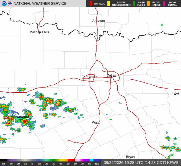
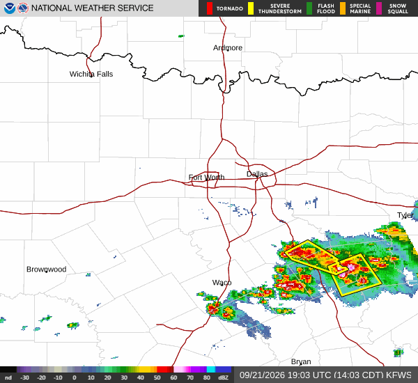
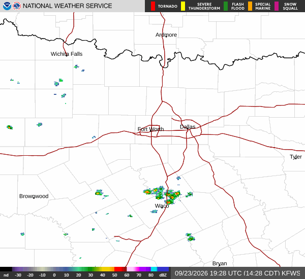
National Weather Service radar for North Texas (KFWS)

*As of Sep 24, 3 PM local time.*

Current Conditions and Coastal Alerts

Residents in Nocatee, TX are navigating a notably humid and breezy afternoon on Thursday. The air temperature stands at 75F, but the high moisture content makes it feel like 77F. Relative humidity is sitting at a heavy 94%, with a dew point of 73F indicating very muggy conditions.

Winds are blowing from the north at 15 mph, with gusts reaching up to 21 mph. Overhead, the sky is filled with light rain and fog or mist.

Beyond the immediate weather, three active National Weather Service alerts are in effect for the region. A High Surf Advisory, classified as minor severity with expected urgency, is active until September 26 at 2:00AM EDT. Additionally, a Rip Current Statement of moderate severity remains in place until September 27 at 1:00AM EDT.

Finally, a Coastal Flood Advisory of minor severity is issued until September 25 at 11:00AM EDT. These alerts suggest hazardous water conditions along the coast that require attention.

Forecast for Today and Tomorrow

Looking ahead to the rest of Thursday, temperatures will rise to a high near 79F before falling back toward 76F in the afternoon. There is a slight chance of showers and thunderstorms before 5pm, with precipitation chances at 15%. Any new rainfall amounts are expected to be less than a tenth of an inch.

Winds will remain brisk from the north around 21 mph, with gusts potentially hitting 31 mph.
Tonight, skies will remain mostly cloudy with a low near 69F. Temperatures may rise slightly to around 70F overnight. The chance of precipitation increases to 30%, with showers and thunderstorms possible after 8pm. Rainfall totals are again expected to be minimal, under a tenth of an inch. North winds will persist at 15 to 20 mph, with gusts up to 30 mph.

Tomorrow brings a shift toward clearer skies. A chance of rain showers is likely before 8am, but conditions will become mostly sunny for the rest of the day. The high will reach near 79F, dropping to around 76F in the afternoon. Precipitation chances are estimated at 30%. Winds will ease slightly to around 16 mph from the north, with gusts up to 22 mph.

Safety Reminders

Given the high humidity and dew point of 73F, staying hydrated is essential. Limit midday exertion if possible to avoid heat-related stress. With active coastal alerts for surf, rip currents, and flooding, please stay away from the water's edge and monitor local conditions closely.

National Weather Service radar for North Texas (KFWS)

Sources

National Weather Service radar

National Weather Service forecast data

Open-Meteo weather data

Share

Coralie Doyle

Coralie Doyle covers weather, storms, and seasonal life around Nocatee.

Related Stories

More in Sport