Back to Weather

5-day forecast / Nocatee, FL

WednesdayMostly Sunny then Chance Showers And Thunderstorms97° / 77° 30%
ThursdaySunny then Chance Showers And Thunderstorms95° / 76° 49%
FridaySunny then Chance Showers And Thunderstorms93° / 76° 35%
SaturdayMostly Sunny then Chance Showers And Thunderstorms93° / 76° 45%
SundayChance Showers And Thunderstorms92° / 76° 38%

Rip Current Alert and Extreme Heat in Nocatee, TX - Jul 4, 1 PM

Nocatee weather, updated every four hours — local forecasts you can trust.

A moderate rip current statement is active in Nocatee, TX, alongside oppressive heat with a feels-like temperature of 99F. Residents should exercise caution at the coast and stay hydrated.

Coralie Doyle

July 4, 20262 min read

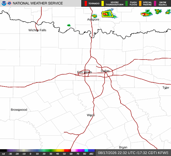
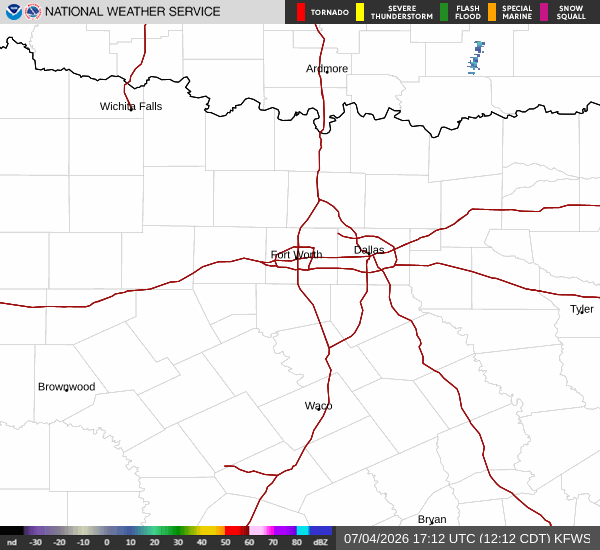
National Weather Service radar for North Texas (KFWS)

As of Jul 4, 1 PM local time.

Current Conditions and Alert

Residents of Nocatee, TX, are currently under a Rip Current Statement, classified as moderate severity with expected urgency. This alert remains in effect until July 5 at 2:00AM EDT, issued by the National Weather Service in Jacksonville, FL. While the sky is clear and winds are light at 9 mph with gusts to 9 mph, the heat index is dangerously high.

The current air temperature is 86F, but the feels-like temperature is 99F. Humidity levels are oppressively high, with a relative humidity of 79% and a dew point of 79F.

Forecast for Today and Tomorrow

Today, the high will reach near 92F, with temperatures falling to around 88F in the afternoon. The heat index is expected to climb as high as 104. There is a slight chance of showers and thunderstorms after 2pm, with a 20% chance of precipitation.

Any new rainfall amounts will likely be less than a tenth of an inch. East winds will blow between 7 to 10 mph.

Tonight, skies will become partly cloudy with a low near 77F. Temperatures may rise slightly to around 78F overnight. South winds will shift to 6 to 10 mph. The chance of precipitation remains low, with less than a tenth of an inch of rain possible.

Tomorrow, conditions will warm significantly, with a high near 95F. Temperatures will drop to around 90F in the afternoon, but the heat index will soar to 107. The sky will be mostly sunny initially, then a chance of showers and thunderstorms will develop after 2pm.
The chance of precipitation is 42%, with rainfall amounts expected to remain under a tenth of an inch. South winds will be 5 to 10 mph.

Safety Reminders

Given the active rip current statement, anyone near the coast should swim only near lifeguards and heed warning flags. The extreme heat and high humidity pose serious health risks. Stay hydrated by drinking water frequently, even if you do not feel thirsty.

Limit outdoor exertion during the hottest parts of the day, and check on elderly neighbors or those without air conditioning. If you must be outside, seek shade and wear lightweight, light-colored clothing to help manage the oppressive heat.

National Weather Service radar for North Texas (KFWS)

Sources

https://radar.weather.gov

https://api.weather.gov

https://open-meteo.com

Share

Coralie Doyle

Coralie Doyle covers weather, storms, and seasonal life around Nocatee.

Related Stories

More in Sport