*As of Aug 18, 12 PM local time.*
Dangerous Heat Conditions
Residents in Nocatee, TX, are under an Extreme Heat Warning, classified as severe with expected urgency. The National Weather Service has issued this alert to highlight the significant health risks associated with the current weather pattern. It is currently Tuesday afternoon, and the heat is already intense.
The air temperature stands at 91F, but the combination of heat and moisture makes it feel like 108F. This oppressive humidity is driven by a dew point of 79F and a relative humidity of 67%. Winds are blowing from the west at 10 mph with gusts reaching 13 mph, while the sky remains clear.
Forecast and Storm Potential
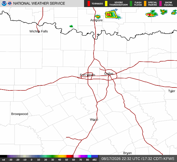
Today, temperatures will peak near 97F before dropping to around 93F in the afternoon. The heat index is expected to reach as high as 113F. There is a slight chance of rain showers between 1pm and 2pm, followed by a chance of showers and thunderstorms from 2pm to 3pm.
After that, scattered storms may continue. Partly sunny skies are expected with a west wind around 9 mph. The chance of precipitation is 48%, with new rainfall amounts between a tenth and quarter of an inch possible.
Overnight, conditions will remain partly cloudy with a low near 79F. A chance of showers and thunderstorms persists before 7pm, then again between 7pm and 10pm. The heat index will stay high at 105F.
Tomorrow, the heat continues with a high near 97F and afternoon temperatures falling to around 93F. The heat index could again reach 113F. Skies will be mostly sunny initially, then become partly cloudy later.