*As of Sep 6, 3 PM local time.*
Dangerous Heat and Humidity Conditions
Residents in Nocatee, TX, are currently navigating dangerously hot and humid conditions this Sunday afternoon. The air temperature stands at 90F, but the heat index makes it feel like 105F. This oppressive humidity is driven by a dew point of 79F and relative humidity levels at 71%.
Winds are blowing from the southeast at around 6 mph, contributing to the muggy atmosphere under mostly cloudy skies.
Storm Activity and Rainfall Forecasts
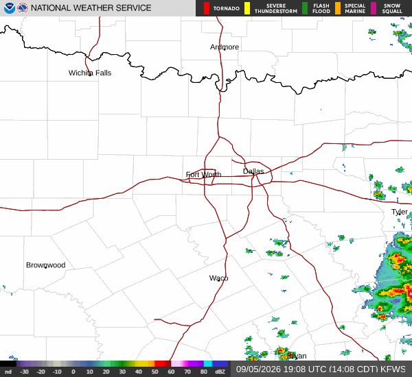
The National Weather Service indicates that showers and thunderstorms are likely today with a 70% chance of precipitation. Temperatures will peak near 93F before falling to around 85F in the afternoon. Heat index values could reach as high as 106. Residents should anticipate new rainfall amounts between a quarter and half of an inch.
Tonight, the storm activity continues with showers and thunderstorms likely before 8pm, followed by another period of likelihood between 8pm and 9pm. A chance for storms persists between 9pm and 2am, with likelihood returning from 2am to 3am. Conditions remain mostly cloudy with a low near 75F.
Winds will shift to the southwest at 2 to 6 mph. Rainfall totals tonight are expected to range from half to three quarters of an inch.
Tomorrow brings continued instability with a high near 88F and a low near 75F. The chance of precipitation remains at 69% to 70%, with showers and thunderstorms likely throughout the day. Rainfall amounts between half and three quarters of an inch are possible. Winds will be from the north at 2 to 8 mph.