Back to Weather

5-day forecast / Nocatee, FL

TuesdayShowers And Thunderstorms Likely89° / 77° 57%
WednesdayMostly Sunny then Chance Rain Showers88° / 76° 28%
ThursdayMostly Sunny87° / 75° 14%
FridayChance Showers And Thunderstorms88° / 74° 25%
SaturdaySlight Chance Showers And Thunderstorms then Chance Showers And Thunderstorms88° / 75° 41%

Rip Current Warning and High Humidity Hit Nocatee - Sep 15, 3 PM

Nocatee weather, updated every four hours — local forecasts you can trust.

A moderate rip current statement is active in Nocatee, TX. Conditions are oppressively humid with a dew point of 75F. Showers and thunderstorms are likely today.

Coralie Doyle

September 15, 20262 min read

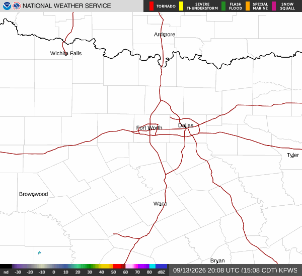
National Weather Service radar for North Texas (KFWS)

*As of Sep 15, 3 PM local time.*

Active Alerts and Current Conditions

Residents in Nocatee, TX, should be aware of an active Rip Current Statement issued by the National Weather Service. This alert carries a moderate severity rating and is expected to remain in effect until early September 18. The statement serves as a critical safety notice for anyone near coastal or large body of water areas.

Current conditions reflect this hazardous environment with oppressively humid air. As of Tuesday afternoon, the air temperature stands at 81F, but the heat index makes it feel like 86F. Relative humidity is sitting at 84%, with a dew point of 75F indicating very moist air.

Winds are blowing from the northeast at 13 mph, with gusts reaching up to 29 mph. The sky remains mostly cloudy, contributing to the heavy, muggy atmosphere.

Forecast for Today and Tomorrow

Today, showers and thunderstorms are likely before 4pm, followed by a chance of additional storms later in the day. Highs will reach near 89F, though temperatures may drop to around 85F in the afternoon as clouds thicken. Heat index values could climb as high as 100F.

The chance of precipitation is 60%, with new rainfall amounts expected to be less than a tenth of an inch. Northeast winds will average around 17 mph, with gusts up to 22 mph.

Tonight, there is a chance of showers and thunderstorms before 1am. Skies will clear to partly cloudy conditions. Lows will settle near 77F, with temperatures rising slightly to around 78F overnight. Winds will persist from the northeast at 15 to 20 mph. The precipitation chance remains at 50%.
Tomorrow, the weather improves significantly with mostly sunny skies. A chance of rain showers exists between noon and 5pm. Highs will reach near 88F, cooling to around 83F in the afternoon. Northeast winds will range from 13 to 18 mph, with gusts as high as 28 mph. The chance of precipitation drops to 30%.

Safety Reminders

Due to the active rip current statement, exercise extreme caution near any bodies of water. Do not enter the water without lifeguard supervision if possible. Additionally, given the high heat index values today, stay hydrated and limit prolonged outdoor exertion during peak afternoon hours. Check on neighbors who may be vulnerable to the heat and humidity.

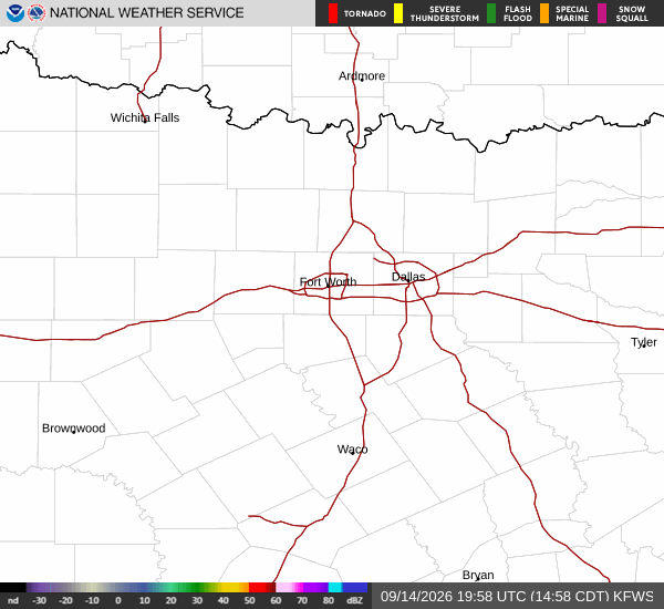
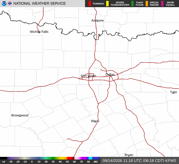
National Weather Service radar for North Texas (KFWS)

Sources

National Weather Service radar

National Weather Service forecast data

Open-Meteo weather data

Share

Coralie Doyle

Coralie Doyle covers weather, storms, and seasonal life around Nocatee.

Related Stories

More in Sport