Back to Weather

5-day forecast / Nocatee, FL

TuesdayChance Showers And Thunderstorms then Showers And Thunderstorms Likely91° / 75° 72%
WednesdaySunny then Chance Showers And Thunderstorms93° / 76° 50%
ThursdayMostly Sunny then Slight Chance Showers And Thunderstorms94° / 77° 24%
FridayMostly Sunny then Slight Chance Showers And Thunderstorms94° / 77° 24%
SaturdayMostly Sunny then Chance Showers And Thunderstorms94° / 77° 35%

High Humidity and Storms Expected in Nocatee Tomorrow - Jul 13, 9 PM

Nocatee weather, updated every four hours — local forecasts you can trust.

Nocatee residents face oppressive humidity tonight with a dew point of 72F. Tomorrow brings a high near 91F and a significant chance of showers and thunderstorms, particularly between noon and 2pm.

Coralie Doyle

July 14, 20262 min read

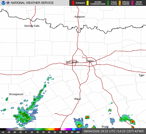
National Weather Service radar for North Texas (KFWS)

*As of Jul 13, 9 PM local time.*

Current Conditions and Humidity

The air in Nocatee, TX, is currently quite heavy with moisture. It is Monday tonight, and the atmosphere is holding onto significant humidity, with a dew point reading of 72F and relative humidity at 94%. The current air temperature sits at 73F, but the combination of heat and moisture makes it feel like 75F. Winds are light at 5 mph, though gusts have reached up to 18 mph. The sky remains clear at this hour, but the muggy conditions are the primary feature of the evening.

Forecast for Tonight and Tomorrow

Overnight, the sky will remain mostly cloudy with a low around 75F. Southwest winds will pick up slightly to around 7 mph.

Tomorrow, temperatures will climb to a high near 91F, with heat index values reaching as high as 102F. The day will start partly sunny, but rain is expected to move in during the morning. There is a chance of rain showers between 9am and 11am. This will be followed by a chance of showers and thunderstorms between 11am and noon. The activity is expected to intensify, with showers and thunderstorms likely between noon and 2pm. After that, there remains a chance for showers and thunderstorms. Temperatures will fall to around 87F in the afternoon. West winds will blow at 5 to 12 mph, with gusts as high as 17 mph. The chance of precipitation is 72%, with new rainfall amounts between a quarter and half of an inch possible.
Tomorrow night, there is a chance of showers and thunderstorms before 10pm. The sky will be partly cloudy with a low around 75F, though temperatures may rise to around 76F overnight. West winds will continue at 6 to 10 mph, with gusts up to 17 mph. The chance of precipitation drops to 40%, with less than a tenth of an inch of new rainfall possible.

Safety and Preparedness

With heat index values reaching 102F tomorrow, it is crucial to stay hydrated and limit midday exertion. The potential for thunderstorms means residents should be aware of changing conditions. While there are no active NWS or NOAA weather alerts in effect, the high humidity and storm potential require attention. Please check local updates for any changes in the forecast.

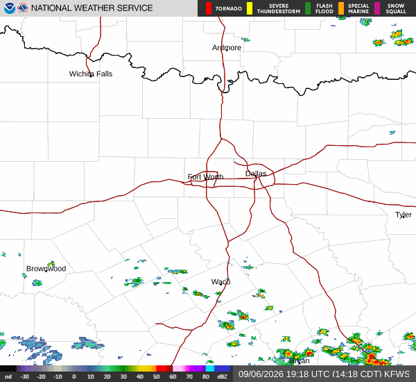
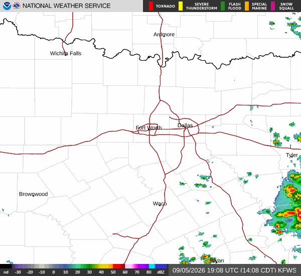
National Weather Service radar for North Texas (KFWS)

Sources

https://radar.weather.gov

https://api.weather.gov

https://open-meteo.com

Share

Coralie Doyle

Coralie Doyle covers weather, storms, and seasonal life around Nocatee.

Related Stories

More in Sport