*As of Jul 20, 5 AM local time.*
Current Conditions and Humidity
The air in Nocatee, TX, is currently heavy with moisture, creating an oppressively humid environment for anyone heading outdoors. The current air temperature sits at 81F, but the high relative humidity of 84% makes it feel significantly warmer, with a feels-like temperature of 86F. The dew point is recorded at 75F, indicating a muggy atmosphere that can make the air feel thick and stagnant.
Winds are light at 5 mph, though gusts are reaching up to 13 mph, and the sky remains clear overhead.
Today and Tonight Forecast
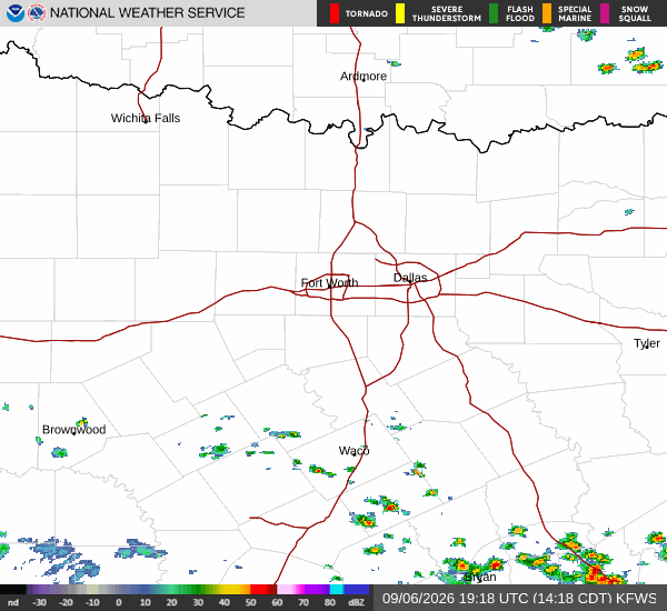
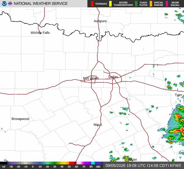
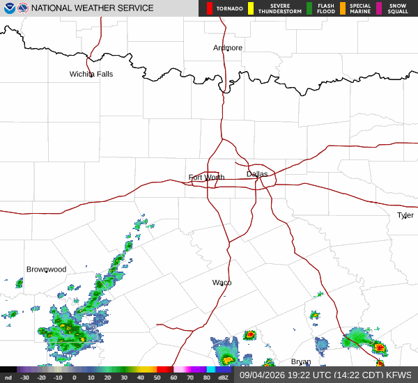
Conditions are expected to warm up significantly throughout the day. The high near 93F will be accompanied by a heat index as high as 106F. While the morning starts mostly sunny, there is a chance of showers and thunderstorms after 2pm.
The chance of precipitation is 38%, with new rainfall amounts less than a tenth of an inch possible. Winds will increase to a south wind of 7 to 15 mph, with gusts as high as 21 mph. Temperatures will fall to around 89F in the afternoon before rising again.
As evening approaches, the sky will become mostly cloudy. There is a chance of showers and thunderstorms before 8pm. The low around 78F will see temperatures rise to around 79F overnight. South winds will continue at 9 to 14 mph, with gusts as high as 20 mph. The chance of precipitation remains at 40% during this period.
Tomorrow Outlook
Tomorrow will be even hotter and more humid. The high near 95F will bring heat index values as high as 107F. The day will start sunny, but there is a slight chance of showers and thunderstorms after 4pm.