Back to Weather

5-day forecast / Nocatee, FL

FridaySunny93° / 76° 1%
SaturdayMostly Sunny then Chance Showers And Thunderstorms96° / 77° 40%
SundayPartly Sunny then Showers And Thunderstorms94° / 76° 75%
MondayChance Showers And Thunderstorms92° / 76° 29%
TuesdayMostly Sunny then Slight Chance Showers And Thunderstorms93° / 78° 15%

Oppressive Humidity Grips Nocatee as Heat Index Climbs - Jul 24, 5 AM

Nocatee weather, updated every four hours — local forecasts you can trust.

Nocatee residents face oppressive humidity with a dew point of 75F today. Highs near 93F bring heat index values up to 106. Thunderstorms possible tomorrow.

Coralie Doyle

July 24, 20262 min read

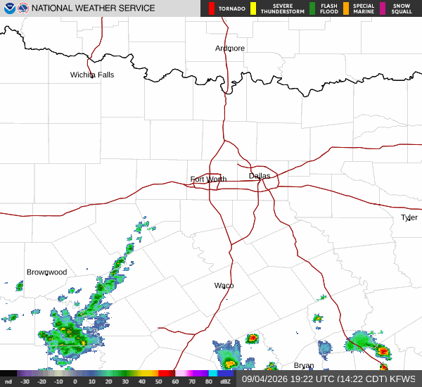
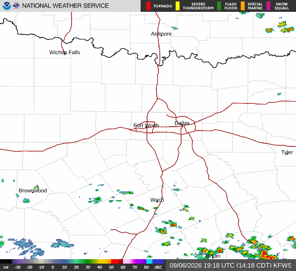
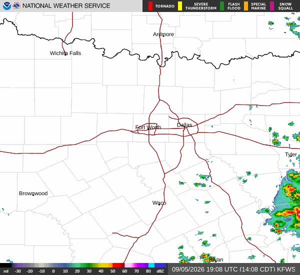
National Weather Service radar for North Texas (KFWS)

*As of Jul 24, 5 AM local time.*

Current Conditions and Humidity

The air in Nocatee, TX, is currently heavy with moisture, creating an oppressively humid atmosphere this Friday morning. The relative humidity stands at 94%, with a dew point of 75F indicating significant saturation in the lower atmosphere. The current air temperature is 77F, but the combination of heat and moisture makes it feel like 79F.

Winds are light, blowing at 3 mph with gusts reaching 6 mph, while the sky remains clear overhead.

Today and Tonight Forecast

Temperatures will rise sharply throughout the day, reaching a high near 93F. Despite the sunny skies, the heat index will climb to as high as 106, making conditions feel significantly hotter than the actual air temperature. Winds will shift to the southeast, ranging from 1 to 12 mph. As the afternoon progresses, temperatures are expected to fall slightly to around 90F before evening sets in.

Tonight, the sky will become partly cloudy. The low will settle around 76F, though temperatures may rise slightly to around 77F during the overnight hours. Winds will remain light, shifting to the south at around 2 mph. The chance of precipitation is minimal at just 1% for the day.

Tomorrow Outlook

Conditions will intensify tomorrow with a high near 96F. The heat index is forecast to reach as high as 110, posing serious risks for heat-related illness. The day will start mostly sunny, but the chance of precipitation increases to 40% later in the day.
Specifically, showers and thunderstorms are likely to develop after 3pm. Winds will pick up from the south, blowing at 5 to 10 mph with gusts as high as 16 mph. Temperatures will drop to around 90F in the afternoon before the evening storms arrive.

Safety Reminder

With heat index values exceeding 105F, it is critical to stay hydrated and limit midday exertion. Check on elderly neighbors and ensure pets have access to cool water. As storms approach tomorrow, monitor local updates for rapidly changing conditions.

National Weather Service radar for North Texas (KFWS)

Sources

https://radar.weather.gov

https://api.weather.gov

https://open-meteo.com

Share

Coralie Doyle

Coralie Doyle covers weather, storms, and seasonal life around Nocatee.

Related Stories

More in Sport