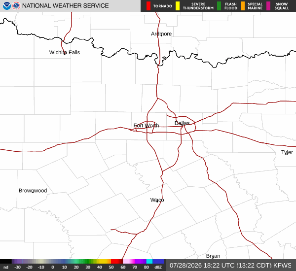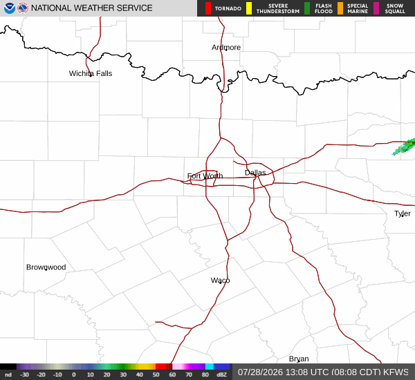
*As of Jul 28, 5 PM local time.*
Dangerous Heat Conditions Underway
An Extreme Heat Watch and a Heat Advisory are currently active for Nocatee, TX, signaling significant thermal stress for the region. The National Weather Service has issued these alerts due to oppressive humidity and rising temperatures. Right now, the air temperature stands at 88F, but the combination of heat and moisture makes it feel like 102F.
The relative humidity is at 75%, with a dew point of 79F, creating a muggy atmosphere that hinders the body's ability to cool itself. The sky is currently clear, but winds are blowing at 13 mph with gusts reaching 10 mph.
Forecast for Today and Tomorrow
Today, conditions will remain hot with a high near 96F. The sky will be mostly sunny, though there is a slight chance of showers and thunderstorms, with a 21% probability of precipitation. Heat index values are expected to climb as high as 109.
Temperatures may fall to around 94F in the afternoon. Winds will be from the southeast around 12 mph, with gusts as high as 17 mph. Any rainfall today is expected to be minimal, with less than a tenth of an inch possible.
Tonight, the heat will persist with a low near 79F. There is a slight chance of showers and thunderstorms before 7pm, followed by partly cloudy skies. The heat index will remain high at around 107. Winds will shift to the southwest at 8 to 12 mph, with gusts up to 17 mph. Overnight, temperatures may rise slightly to around 80F.
Tomorrow, the heat will intensify further with a high near 98F. The sky will be mostly sunny, but there is a chance of showers and thunderstorms after 2pm, with a 48% chance of precipitation. Heat index values could reach as high as 113.