*As of Jul 29, 2 PM local time.*
Dangerous Heat Conditions
Residents of Nocatee, TX, are under an Extreme Heat Warning, which remains in effect until July 29 at 8:00PM EDT. The National Weather Service has issued this severe alert due to dangerously high temperatures and heat index values that pose significant health risks.
As of Wednesday afternoon, the air temperature stands at 93F, but the combination of heat and moisture makes it feel like 110F. This oppressive humidity is driven by a dew point of 79F and relative humidity levels at 63%. Winds are currently blowing from the southwest at 9 mph, with gusts reaching up to 10 mph under mostly clear skies.
Forecast for Today and Tomorrow
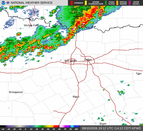
Today, high temperatures will reach near 97F, though they may fall to around 95F in the afternoon. The heat index is expected to climb as high as 113. There is a slight chance of showers and thunderstorms after 4pm, with precipitation chances at 20%. Southwest winds may gust up to 18 mph. New rainfall amounts between a tenth and quarter of an inch are possible.
Tonight, skies will turn mostly cloudy with a low near 77F. Temperatures may rise slightly to around 79F overnight. The heat index could reach 106. There is a chance of showers and thunderstorms throughout the night, particularly before 11pm and between 2am and 4am. Precipitation chances are at 50%, with potential rainfall between a half and three quarters of an inch.
Tomorrow, conditions will remain hot with a high near 94F, dropping to around 89F in the afternoon. Showers and thunderstorms will be likely, with precipitation chances rising to 60%. The heat index may hit 107. Southwest winds will gust up to 16 mph. New rainfall amounts between a quarter and half of an inch are possible.