Back to Weather

5-day forecast / Nocatee, FL

SaturdayShowers And Thunderstorms Likely90° / 74° 60%
SundayShowers And Thunderstorms88° / 74° 82%
MondayShowers And Thunderstorms Likely87° / 74° 71%
TuesdayPartly Sunny then Showers And Thunderstorms Likely90° / 75° 55%
WednesdayMostly Sunny then Chance Showers And Thunderstorms90° / 76° 32%

Dangerous Heat and Humidity Hit Nocatee as Storms Loom - Jul 31, 6 PM

Nocatee weather, updated every four hours — local forecasts you can trust.

Nocatee residents face oppressive heat with a feels-like temperature of 100F. Showers and thunderstorms are likely today and tomorrow, bringing relief but also hazardous conditions.

Coralie Doyle

July 31, 20262 min read

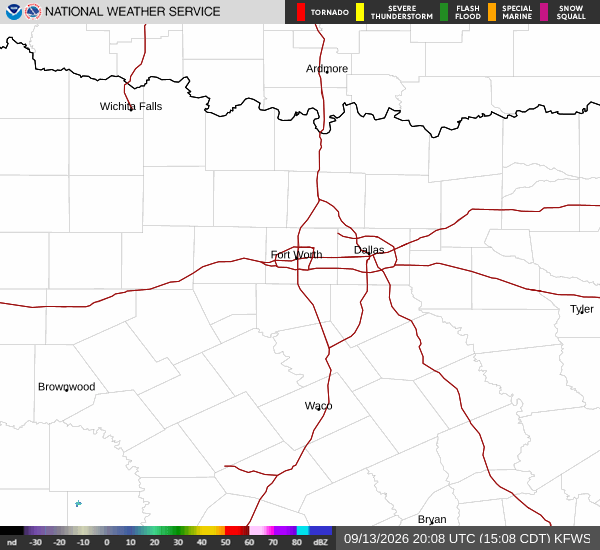
National Weather Service radar for North Texas (KFWS)

*As of Jul 31, 6 PM local time.*

Dangerous Heat Conditions

Residents in Nocatee, TX, are currently enduring dangerous heat levels this Friday evening. The air temperature stands at 88F, but the oppressive humidity pushes the feels-like temperature to a sweltering 100F. Relative humidity is holding at 70%, with a dew point of 77F indicating muggy conditions that make the heat feel even more intense.

Winds are currently calm at 0 mph, though gusts have reached up to 9 mph. The sky remains clear as the day winds down.

Storms and Temperatures Ahead

The forecast indicates a shift in weather patterns with significant moisture on the way. Today is expected to see a high near 90F and a low near 76F, with a 57% chance of precipitation. Showers and thunderstorms are likely throughout the day.

Tonight, conditions will remain unsettled with a mostly cloudy sky. Showers and thunderstorms are likely again, bringing a 60% chance of rain. New rainfall amounts between a tenth and quarter of an inch are possible.

Temperatures will start around 76F but may rise slightly to around 77F overnight. Winds will pick up from the south at 5 to 10 mph, with gusts as high as 16 mph.

Tomorrow brings similar conditions with a high near 90F and a low near 74F. There is a slight chance of rain showers before 11am, followed by likely showers and thunderstorms. The sky will be partly sunny.
Heat index values could reach as high as 105F in the afternoon. Winds will shift to the southwest at 5 to 10 mph. Another 60% chance of precipitation exists, with new rainfall amounts between a tenth and quarter of an inch possible.

Safety Reminders

Given the dangerous heat index values and potential for severe weather, it is crucial to stay hydrated and limit midday exertion. Check on neighbors who may be vulnerable to extreme heat. As storms approach, monitor local updates for any changes in conditions.

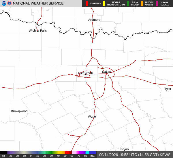
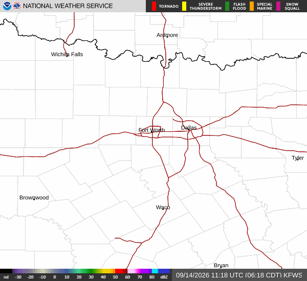
National Weather Service radar for North Texas (KFWS)

Sources

https://radar.weather.gov

https://api.weather.gov

https://open-meteo.com

Share

Coralie Doyle

Coralie Doyle covers weather, storms, and seasonal life around Nocatee.

Related Stories

More in Sport