Back to Weather

5-day forecast / Nocatee, FL

SaturdayChance Showers And Thunderstorms89° / 78° 51%
SundayMostly Sunny then Chance Showers And Thunderstorms91° / 76° 28%
MondayMostly Sunny then Slight Chance Showers And Thunderstorms91° / 76° 22%
TuesdaySunny then Slight Chance Showers And Thunderstorms93° / 77° 15%
WednesdaySunny then Slight Chance Showers And Thunderstorms95° / 77° 19%

Rip Current Warning and Heavy Humidity Hit Nocatee This Afternoon - Aug 8, 2 PM

Nocatee weather, updated every four hours — local forecasts you can trust.

A moderate rip current statement is in effect for Nocatee, TX. Conditions are oppressively humid with a dew point of 79F and heavy rain observed this Saturday afternoon.

Coralie Doyle

August 8, 20262 min read

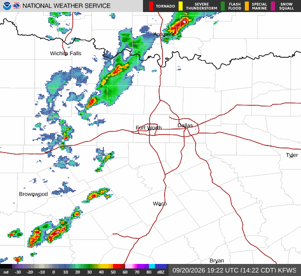
National Weather Service radar for North Texas (KFWS)

*As of Aug 8, 2 PM local time.*

Active Alert and Current Conditions

Residents in Nocatee, TX, are under a Rip Current Statement with moderate severity and expected urgency. This alert remains active until August 9 at 2:00AM EDT. The National Weather Service issued this statement to highlight dangerous swimming conditions along the coast.

It is currently Saturday this afternoon, and the atmosphere is heavy with moisture. The air temperature sits at 79F, but the feels-like temperature is a muggy 83F. Relative humidity is at 100%, with a dew point of 79F, creating an oppressively humid environment.

Winds are light at 3 mph, though gusts have reached 10 mph. The sky is currently obscured by heavy rain and fog or mist.

Forecast for Today and Tomorrow

Today, the high will reach near 89F, with temperatures dropping to around 87F in the afternoon. Heat index values could climb as high as 103. There is a chance of showers and thunderstorms before 4pm, followed by another chance later in the day.

The sky will be mostly cloudy. East winds will pick up to around 12 mph, with gusts as high as 17 mph. The chance of precipitation is 50%, with new rainfall amounts between a tenth and quarter of an inch possible.

Tonight, conditions remain mostly cloudy with a low near 78F. A chance of showers and thunderstorms persists before 9pm. Southeast winds will range from 3 to 12 mph, with gusts up to 17 mph. The precipitation chance is 40%, with similar rainfall totals possible.
Tomorrow brings a high near 91F, falling to around 87F in the afternoon. Heat index values may reach 106. The sky will be mostly sunny, but there is a chance of showers and thunderstorms after 1pm. Southeast winds will continue at 3 to 12 mph. The chance of precipitation is 40%.

Safety Reminder

Due to the active rip current statement, exercise extreme caution near all coastal waters. Strong currents can pull swimmers away from shore quickly. Additionally, with heat index values exceeding 100F, stay hydrated and limit prolonged outdoor exertion during the hottest parts of the day.

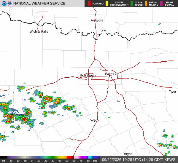
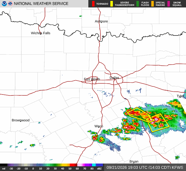
National Weather Service radar for North Texas (KFWS)

Sources

https://radar.weather.gov

https://api.weather.gov

https://open-meteo.com

Share

Coralie Doyle

Coralie Doyle covers weather, storms, and seasonal life around Nocatee.

Related Stories

More in Sport