Back to Weather

5-day forecast / Nocatee, FL

MondayChance Showers And Thunderstorms85° / 75° 54%
TuesdayChance Showers And Thunderstorms86° / 76° 62%
WednesdayChance Showers And Thunderstorms87° / 75° 61%
ThursdayShowers And Thunderstorms Likely89° / 75° 70%
FridayChance Showers And Thunderstorms91° / 75° 50%

Heat and Humidity Dominate Nocatee Weather Today - Aug 30, 3 PM

Nocatee weather, updated every four hours — local forecasts you can trust.

Nocatee, TX residents face oppressive heat with a feels-like temperature of 95F today. Highs near 88F and dew points at 75F create uncomfortable conditions.

Coralie Doyle

August 30, 20262 min read

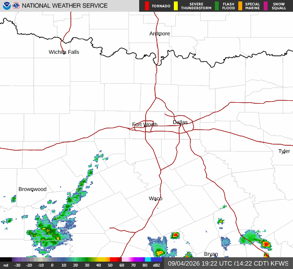
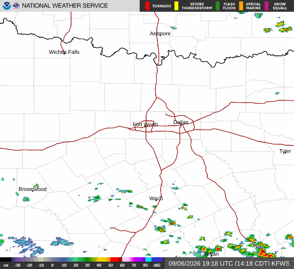
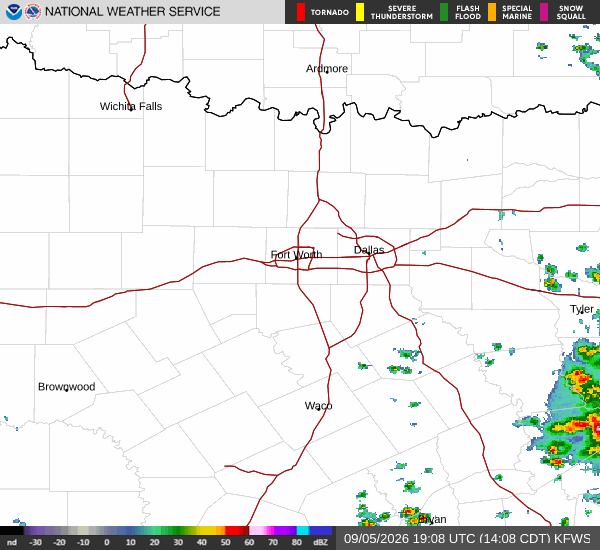
National Weather Service radar for North Texas (KFWS)

*As of Aug 30, 3 PM local time.*

Current Conditions and Heat Index

The air in Nocatee is heavy and warm this Sunday afternoon. The current air temperature stands at 86F, but the humidity makes it feel significantly hotter. The feels-like temperature is currently 95F, creating a stifling environment for anyone outdoors.

Relative humidity is holding at 70%, with a dew point of 75F, which indicates very moist air that hinders the body's ability to cool itself through sweat.

Skies are partly cloudy, offering little relief from the sun’s intensity. Winds are blowing from the east at 11 mph, with gusts reaching up to 13 mph. While this provides a slight breeze, it is not enough to significantly lower the perceived heat. Residents should be aware that the combination of high temperatures and high humidity creates conditions where heat-related illnesses can occur more easily.

Forecast for Today and Tomorrow

Today will remain hot with a high near 88F. The National Weather Service indicates mostly cloudy skies, which may offer brief breaks in direct sunlight, but the heat will persist. Temperatures are expected to fall to around 82F in the afternoon before dropping further as evening approaches.

There is a chance of showers and thunderstorms today, with a precipitation probability of 26%. Any rainfall is likely to be light, with new amounts less than a tenth of an inch possible.

Tonight will bring relief from the peak heat, with lows near 76F. Skies will remain mostly cloudy. There is a slight chance of showers and thunderstorms before 8pm, though the chance drops to 20% overall. Winds will lighten to 2 to 10 mph from the east.
Tomorrow looks similar to today in terms of heat. Highs will reach near 89F, with heat index values climbing as high as 100F. Skies will be mostly sunny by midday, with a chance of showers and thunderstorms after 11am.

The precipitation chance is 30%. Northeast winds will range from 2 to 12 mph, with gusts up to 16 mph. Lows tomorrow night will settle near 76F under partly cloudy skies.

Safety Reminder

Given the feels-like temperature of 95F today and heat indices reaching 100F tomorrow, it is crucial to stay hydrated. Limit outdoor exertion during the hottest parts of the day. Check on elderly neighbors or those without air conditioning to ensure their safety in these oppressive conditions.

National Weather Service radar for North Texas (KFWS)

Sources

https://radar.weather.gov

https://api.weather.gov

https://open-meteo.com

Share

Coralie Doyle

Coralie Doyle covers weather, storms, and seasonal life around Nocatee.

Related Stories

More in Sport