*As of Sep 2, 5 PM local time.*
Active Safety Alert and Current Conditions
Residents in Nocatee, TX, are under a Rip Current Statement with moderate severity and expected urgency. This alert is in effect until September 3 at 8:00PM EDT. If you plan to visit nearby waters, exercise extreme caution due to dangerous swimming conditions caused by strong rip currents.
Current atmospheric conditions are notably oppressive. The air temperature stands at 81F, but the heat index makes it feel like 88F. Relative humidity is high at 94%, with a dew point of 79F indicating very moist air. Winds are blowing from the northeast at 9 mph, with gusts reaching up to 18 mph. The sky is currently obscured by fog and mist.
Forecast for Today and Tomorrow
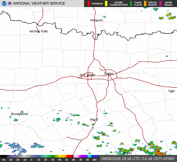
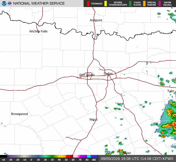
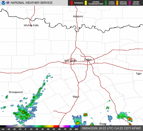
Today, expect a chance of showers and thunderstorms alongside mostly cloudy skies. The high will reach near 86F, though temperatures may drop to around 85F in the afternoon. Northeast winds will increase to around 14 mph, with gusts as high as 21 mph. There is a 50% chance of precipitation, with new rainfall amounts less than a tenth of an inch possible.
Tonight, the chance for showers and thunderstorms continues under mostly cloudy skies. Lows will settle near 78F. Winds will shift to the east at 3 to 13 mph, with gusts up to 20 mph. The probability of precipitation remains significant at 40%, with minimal rainfall expected.
Tomorrow brings partly sunny intervals mixed with a chance of showers and thunderstorms before 11am, followed by continued chances later in the day. Highs will climb near 88F, cooling to around 83F in the afternoon. East winds will be lighter at 3 to 12 mph, with gusts up to 16 mph.